Fire near La Primavera
Status: ✓ Confirmed
This fire is confirmed by an EFFIS burnt-area perimeter or by repeated, intense satellite detections.
⚠️ The fires shown are automatic satellite heat detections from NASA FIRMS. They are not verified on the ground and are not 100% accurate — they can include false alarms (industrial heat, gas flares, sun glint) or miss small or cloud-covered fires. Do not use this map for safety decisions; always follow official emergency sources.
Satellite before & after
High-resolution Copernicus Sentinel-2 imagery of the area, before the fire and after. Drag the slider to compare.

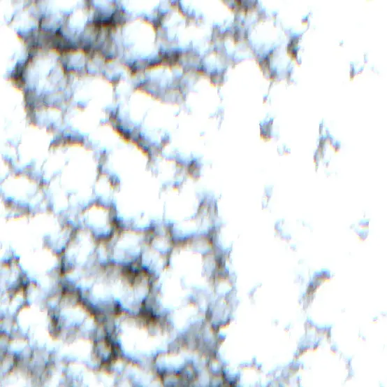 Before · 2026-09-28
After · 2026-10-18
Short-wave infrared: smoke turns transparent and active flames / burnt ground stand out.Normalised Burn Ratio: recently burnt land shown in red / orange.
Contains modified Copernicus Sentinel data 2026 · Copernicus Data Space Ecosystem
Satellite detections — 4
| Time | Intensity (MW) | Source |
|---|---|---|
| 19 Oct 2026 20:42 UTC | 20 | firms |
| 19 Oct 2026 20:42 UTC | 92 | firms |
| 19 Oct 2026 20:42 UTC | 14 | firms |
| 19 Oct 2026 18:17 UTC | 7 | firms |
Official & data sources
EFFIS / Copernicus fire viewer ↗ NASA FIRMS active-fire data ↗ IDEAM (Colombia) & National Disaster Risk Unit (UNGRD) ↗